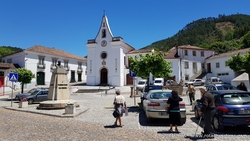
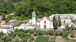
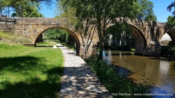
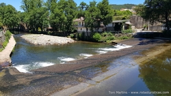
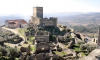
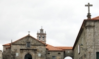
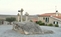
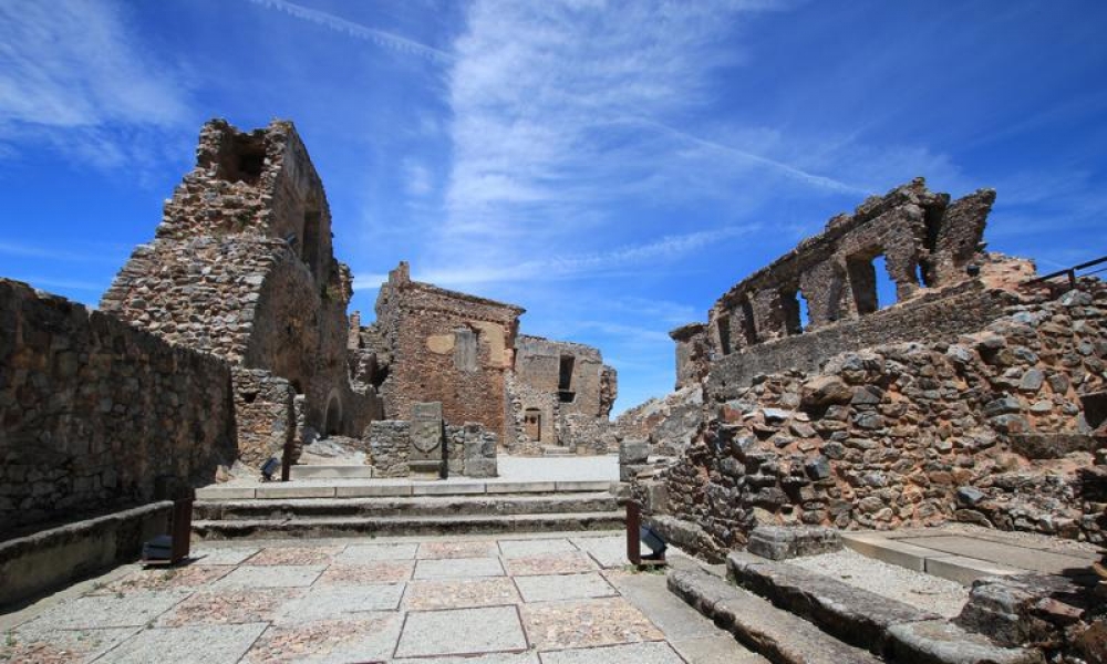
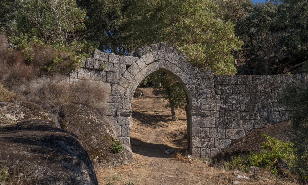
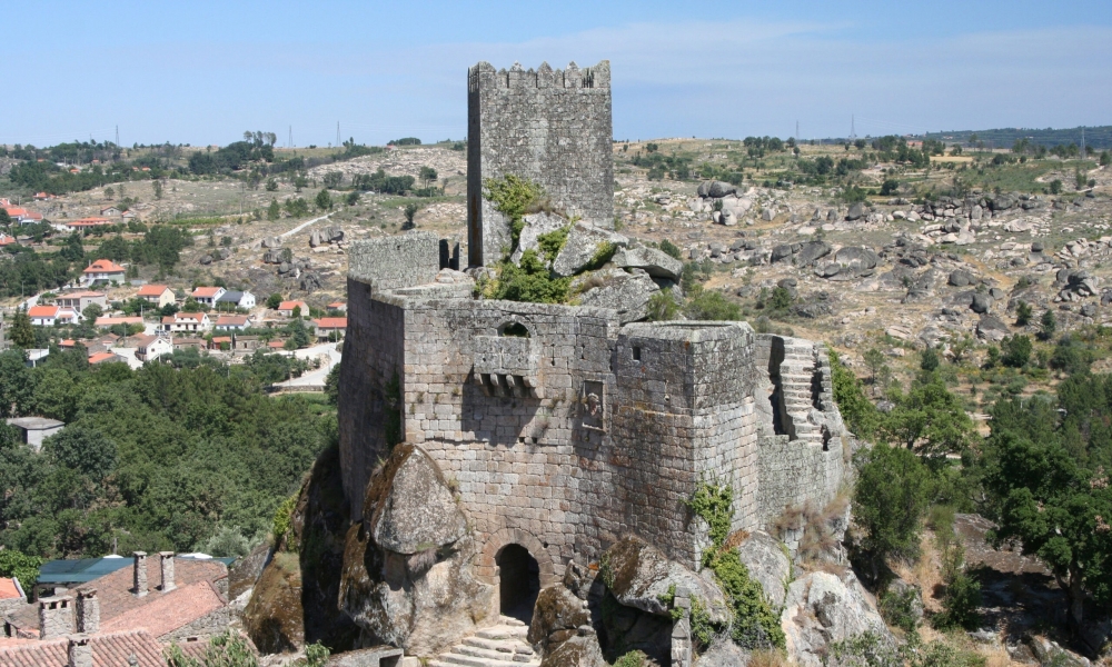
Route of 19 Castles in the Serra da Estrela region
Type of trip: Cultural
Recommended Season: All year
Starting Country: Portugal
Recommended time: 7 days
Recommended vehicle: All vehicles
Distance to travel: 531 km
Come and discover one of the most beautiful places in Portugal knowing its history and culture visiting the most important castles in the Serra da Estrela region
The trip
Castle of Guarda
Lat: 40.537447 - Lon: -7.271798
N: 40° 32' 14.8092 " W: 7° 16' 18.4728"
N: 40° 32' 14.8092 " W: 7° 16' 18.4728"
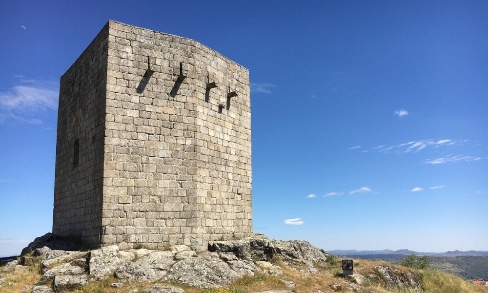
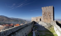
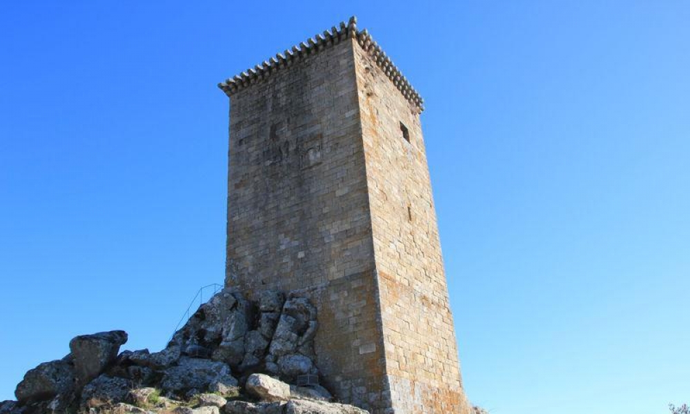
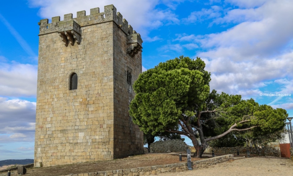
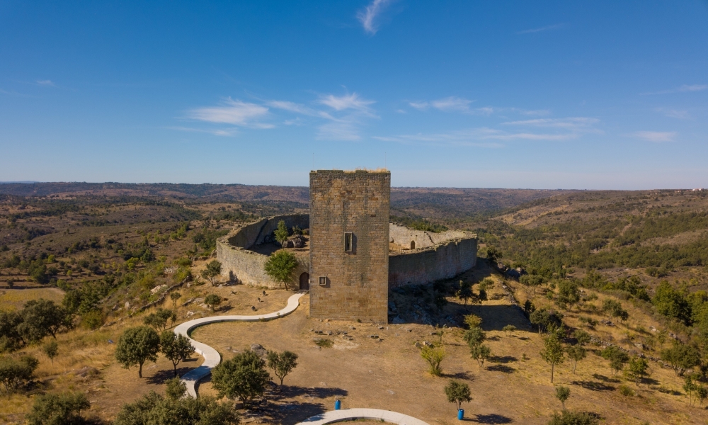
The Guarda Castle, located in a dominant position over the highest city in the country, stands at 1,056.3 meters above sea level. Little more remains of the castle than the Keep, but it is worth a visit for its views.
What to visit nearby: Castle of Guarda
Castle of Belmonte
Lat: 40.359503 - Lon: -7.348490
N: 40° 21' 34.2108 " W: 7° 20' 54.564"
N: 40° 21' 34.2108 " W: 7° 20' 54.564"
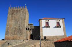
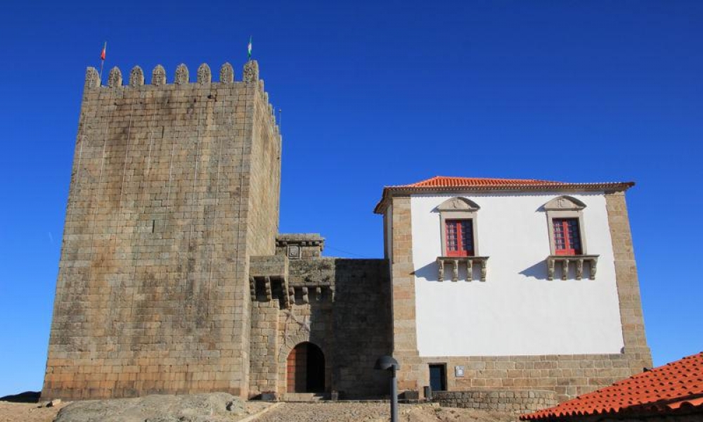
Built in the 13th century, the Castle of Belmonte is closely linked to Pedro Álvares Cabral, having been donated in 1466 to Fernão Cabral, becoming from then on the residence of the Cabral family.
What to visit nearby: Castle of Belmonte
|
|
|
|
|
|
|
|
|
|
|
|
|
|
|
|
|
|
|
|
|
|
|
|
|
|
Castle or Fortress of Penamacor
Lat: 40.168013 - Lon: -7.171660
N: 40° 10' 4.8468 " W: 7° 10' 17.976"
N: 40° 10' 4.8468 " W: 7° 10' 17.976"
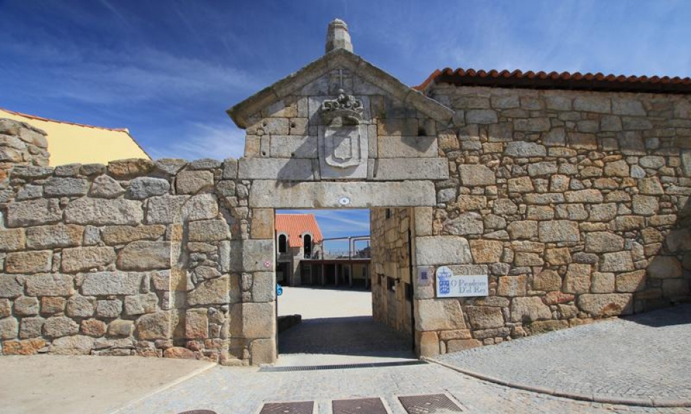
Enjoy and walk along the more than 750 meters of walls that served as protection for the village.
What to visit nearby: Castle or Fortress of Penamacor
|
|
|
|
|
|
Castle of Penha Garcia
Lat: 40.042973 - Lon: -7.015298
N: 40° 2' 34.7028 " W: 7° 0' 55.0728"
N: 40° 2' 34.7028 " W: 7° 0' 55.0728"
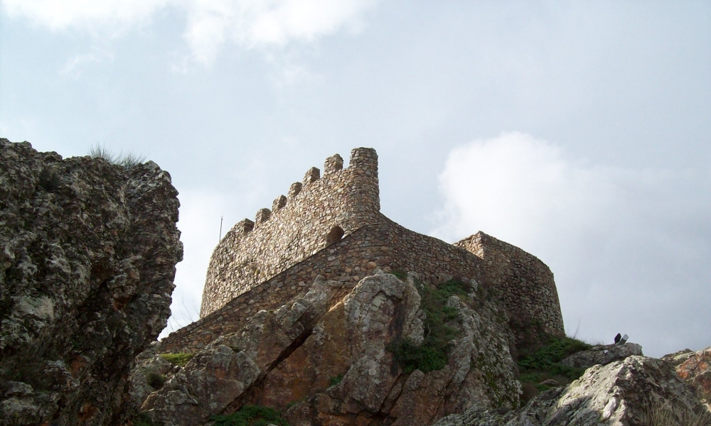
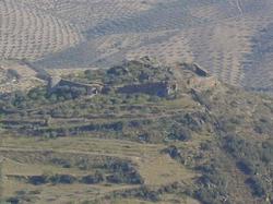
The Castle of Penha Garcia, must have been built by the Templar order, possibly on an old Roman fortification preceded by a prehistoric fort, being donated by D. Afonso II, to the Order of Santiago, around 1220.
Due to its location, it is worth a visit as it is located in a dominant position in the Ramiro mountain range, overlooking the Pônsul river valley.
Due to its location, it is worth a visit as it is located in a dominant position in the Ramiro mountain range, overlooking the Pônsul river valley.
What to visit nearby: Castle of Penha Garcia
Castle of Monsanto
Lat: 40.036462 - Lon: -7.113937
N: 40° 2' 11.2632 " W: 7° 6' 50.1732"
N: 40° 2' 11.2632 " W: 7° 6' 50.1732"
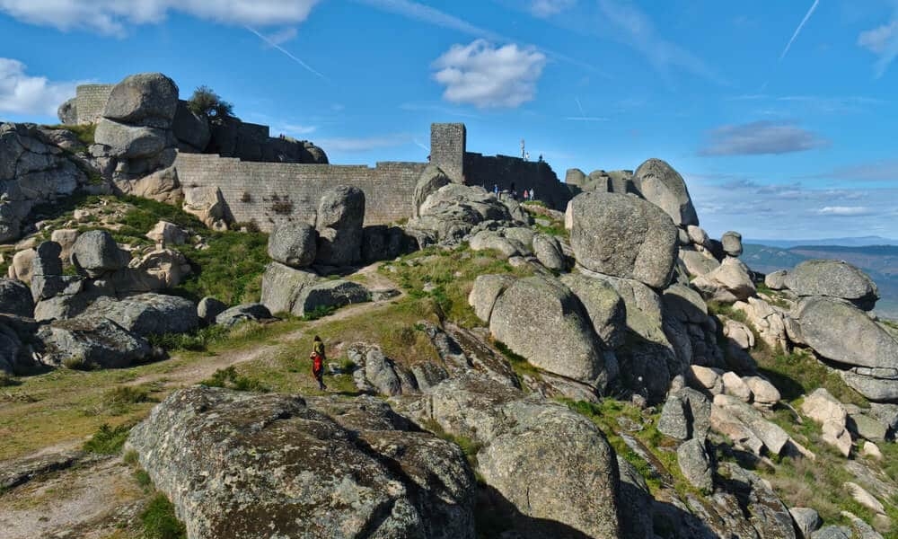
Located in a position overlooking the historic village of Monsanto.
A lot of people visit the village of Monsanto, but not many go up to the top to see the Castle, which is really worth it.
Despite its dilapidated state, the views it offers are more than enough to visit.
A lot of people visit the village of Monsanto, but not many go up to the top to see the Castle, which is really worth it.
Despite its dilapidated state, the views it offers are more than enough to visit.
What to visit nearby: Castle of Monsanto
Castle of Castelo Novo
Lat: 40.078214 - Lon: -7.496479
N: 40° 4' 41.5704 " W: 7° 29' 47.3244"
N: 40° 4' 41.5704 " W: 7° 29' 47.3244"
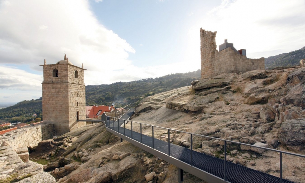
Located in a rocky environment on the east side of the Serra da Gardunha. Its construction will be before the beginning of the 13th century.
Take the opportunity to get to know the village of Castelo Novo while visiting its castle as it is really worth it
Take the opportunity to get to know the village of Castelo Novo while visiting its castle as it is really worth it
What to visit nearby: Castle of Castelo Novo
|
|
|
|
|
|
|
Castle of Avô
Lat: 40.293601 - Lon: -7.904622
N: 40° 17' 36.9636 " W: 7° 54' 16.6392"
N: 40° 17' 36.9636 " W: 7° 54' 16.6392"
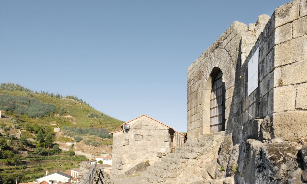
The construction of Castelo de Avô is attributed to the reign of D. Afonso Henriques. The set of remaining walls in the castle, which comprises the ruins of the Ermida de São Miguel, was classified as a Property of Public Interest.
Despite being perhaps one of the least visited castles, it is worth a stop to discover its architecture and surroundings.
Despite being perhaps one of the least visited castles, it is worth a stop to discover its architecture and surroundings.
What to visit nearby: Castle of Avô
|
|
|
|
|
|
|
|
|
|
|
|
|
|
|
|
|
|
|
|
|
|
|
|
|
|
|
|
|
Castle of Linhares da Beira
Lat: 40.541074 - Lon: -7.461064
N: 40° 32' 27.8664 " W: 7° 27' 39.8304"
N: 40° 32' 27.8664 " W: 7° 27' 39.8304"
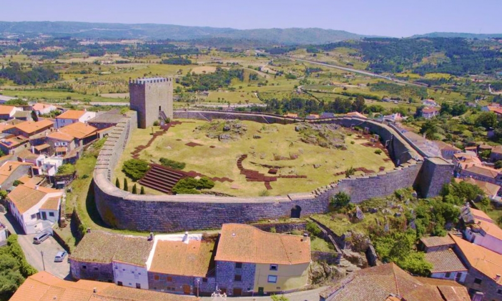
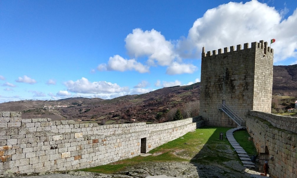
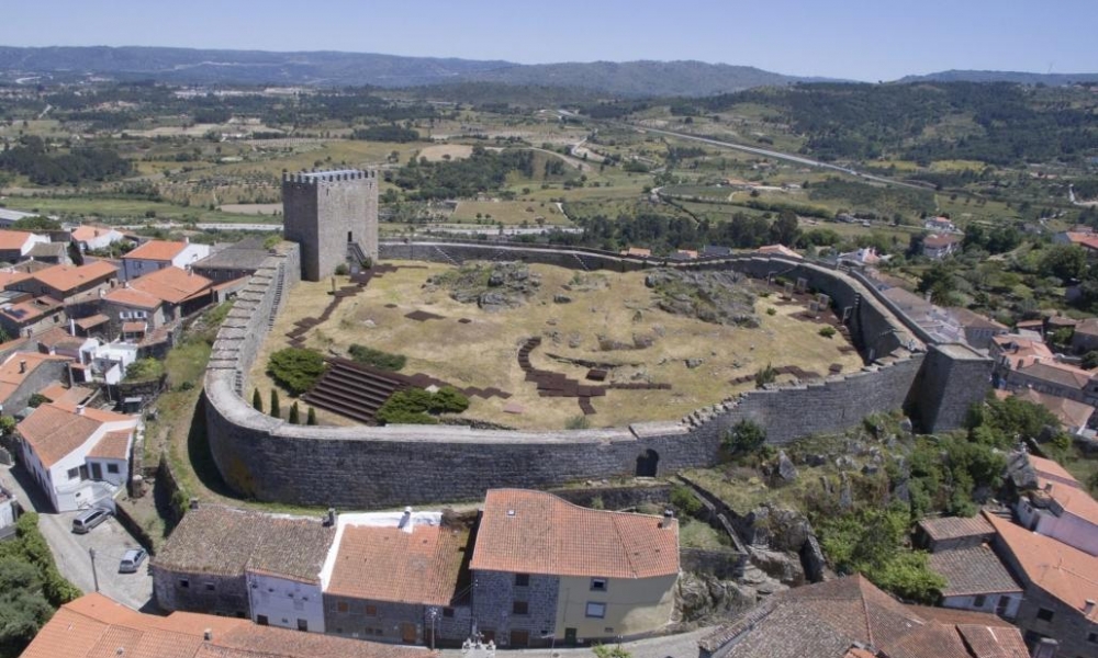
Located on a rocky hill on the foothills of Serra da Estrela, it dominates the valley of the Mondego River. Its past is steeped in legends, being considered one of the most important medieval fortifications in Beira Alta Interior.
Take the opportunity to visit the Castle and the medieval village of Linhares da Beira, dating from the 12th century, with an important architectural and artistic diversity, as a result of the legacy of various eras. In 1169, it received its first charter, attributed by D. Afonso Henriques.
Take the opportunity to visit the Castle and the medieval village of Linhares da Beira, dating from the 12th century, with an important architectural and artistic diversity, as a result of the legacy of various eras. In 1169, it received its first charter, attributed by D. Afonso Henriques.
What to visit nearby: Castle of Linhares da Beira
|
|
|
|
|
|
|
|
|
|
|
|
|
|
|
|
|
|
|
|
|
|
|
|
|
|
Castle of Celorico da Beira
Lat: 40.637304 - Lon: -7.391897
N: 40° 38' 14.2944 " W: 7° 23' 30.8292"
N: 40° 38' 14.2944 " W: 7° 23' 30.8292"
The castle of Celorico da Beira, was built on a granite hill, at the foot of Serra da Estrela, with a dominant position over the village and the Mondego river, from the top of its walls you can see the neighboring Castelo de Linhares, the castle of Guarda , the castle of Trancoso, the Serra da Estrela Natural Park and the river Côa.
What to visit nearby: Castle of Celorico da Beira
|
|
|
|
|
|
|
|
|
|
|
|
|
|
|
Castle of Trancoso
Lat: 40.779472 - Lon: -7.347823
N: 40° 46' 46.0992 " W: 7° 20' 52.1628"
N: 40° 46' 46.0992 " W: 7° 20' 52.1628"
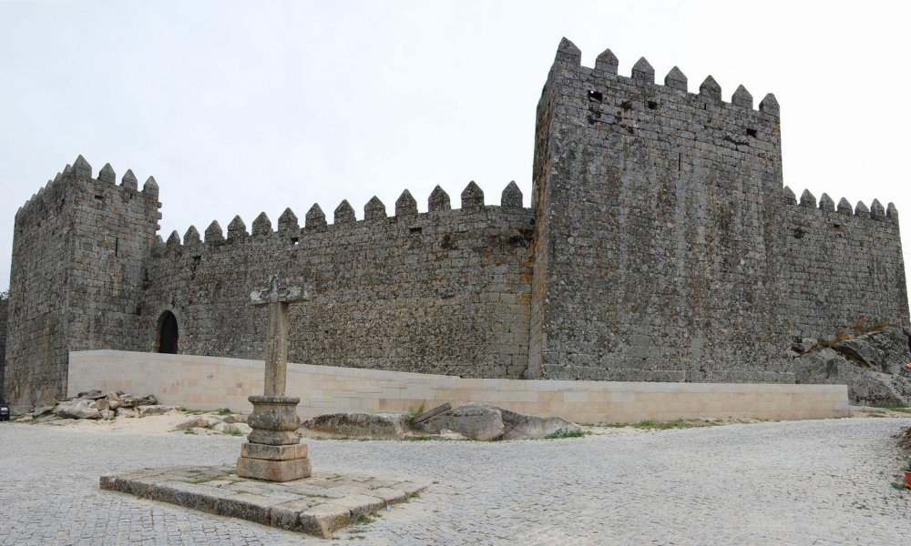
Trancoso is still surrounded by walls from the Dinisian period, with a beautiful medieval castle crowning this majestic fortified complex. With its numerous monuments, civil and religious architecture, it is one of the most expressive Historic Centers in the country, visited annually by many thousands of people. Of particular note are the parish churches of Santa Maria and S. Pedro, the 16th century Casa dos Arcos, the Misericórdia Church, the Casa do Gato Preto, a curious building in the old Jewish quarter and the Pelourinho, beautiful piece of the purest Manueline style.
Outside the wall, you can see the Fonte Nova, with classical lines built in the sec. XVI, the Chapel of S. Bartolomeu, Baroque example, the Church of Senhora da Fresta and Chapel of Santa Luzia, temples of the transition from the Romantic to the Gothic, the chapels of Senhor da Calçada and Santa Eufémia, from the 16th century. 18th century and also the former Convent of the Franciscan Friars, with elements from the 16th to the 18th century, now recovered and transformed into a Municipal Auditorium.
Outside the wall, you can see the Fonte Nova, with classical lines built in the sec. XVI, the Chapel of S. Bartolomeu, Baroque example, the Church of Senhora da Fresta and Chapel of Santa Luzia, temples of the transition from the Romantic to the Gothic, the chapels of Senhor da Calçada and Santa Eufémia, from the 16th century. 18th century and also the former Convent of the Franciscan Friars, with elements from the 16th to the 18th century, now recovered and transformed into a Municipal Auditorium.
What to visit nearby: Castle of Trancoso
|
|
|
|
|
|
|
|
|
|
Castle of Castelo Rodrigo
Lat: 40.877074 - Lon: -6.963830
N: 40° 52' 37.4664 " W: 6° 57' 49.788"
N: 40° 52' 37.4664 " W: 6° 57' 49.788"
In a dominant position over the Aguiar stream, south of the Ribacôa plain, it was a place of passage for pilgrims who, from Beira Baixa, headed to Santiago de Compostela along the path that, in the Middle Ages, went from Guarda to Barca d'Alva. They found shelter in the nearby Convent of Santa Maria de Aguiar. Currently, the castle walls surround the village, part of the Historic Villages Program.
What to visit nearby: Castle of Castelo Rodrigo
|
|
|
|
Pinhel Castle
Lat: 40.777129 - Lon: -7.062020
N: 40° 46' 37.6644 " W: 7° 3' 43.272"
N: 40° 46' 37.6644 " W: 7° 3' 43.272"
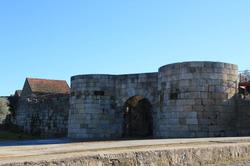
Pinhel Castle is a medieval fortification on the Beira border, rising in a dominant position in Serra da Marofa, on the left bank of the Côa River. This urban castle has an oval-shaped plan, with the wall surrounding the hill and the historic center. This granite wall was originally reinforced by six square towers (of which only two remain) to which an equal number of doors corresponded.
What to visit nearby: Pinhel Castle
|
|
|
|
Almeida Castle
Lat: 40.725330 - Lon: -6.907894
N: 40° 43' 31.188 " W: 6° 54' 28.4184"
N: 40° 43' 31.188 " W: 6° 54' 28.4184"
The medieval Castle of Almeida, part of the so-called Linha do Tejo, frontier of the kingdom of Portugal at the end of the 13th century, had the function of populating and defending the lands of Ribacôa.
The remnants of the medieval castle that make up the defenses of the Praça-forte de Almeida are classified as a National Monument.
The remnants of the medieval castle that make up the defenses of the Praça-forte de Almeida are classified as a National Monument.
What to visit nearby: Almeida Castle
Castle of Castelo Bom
Lat: 40.620975 - Lon: -6.901318
N: 40° 37' 15.51 " W: 6° 54' 4.7447999999999"
N: 40° 37' 15.51 " W: 6° 54' 4.7447999999999"
The castle of Castelo Bom, stands in a dominant position on a rocky hill, overlooking the river Côa, whose crossing it defended. Part of the lands of Ribacôa, it is neighboring Castelo de Almeida and Castelo Mendo.
According to archaeological evidence, the primitive human occupation of its site dates back to a prehistoric fort, from the Bronze Age. It is believed that due to its strategic position on the river, it has been occupied continuously since then.
According to archaeological evidence, the primitive human occupation of its site dates back to a prehistoric fort, from the Bronze Age. It is believed that due to its strategic position on the river, it has been occupied continuously since then.
What to visit nearby: Castle of Castelo Bom
Vilar Maior Castle
Lat: 40.476382 - Lon: -6.940372
N: 40° 28' 34.9752 " W: 6° 56' 25.3392"
N: 40° 28' 34.9752 " W: 6° 56' 25.3392"
Vila Maior Castle is a medieval castle with an irregular oval layout with a square-shaped keep.
What to visit nearby: Vilar Maior Castle
|
|
|
|
|
|
Castle of Alfaiates
Lat: 40.390493 - Lon: -6.911138
N: 40° 23' 25.7748 " W: 6° 54' 40.0968"
N: 40° 23' 25.7748 " W: 6° 54' 40.0968"
The castle of Alfaiates is built on a plateau area, the hill on which it sits has made it a strategic and important advanced point in the defense of the border. Together with the fortress of Almeida they controlled a vast territory. During the War of Restoration of Independence (1640) it played a decisive role in national defense, being considered one of the Keys of the Kingdom, like Almeida e Elvas.
From the top of its walls you can see the wild lands of Ribacôa.
From the top of its walls you can see the wild lands of Ribacôa.
What to visit nearby: Castle of Alfaiates
Sabugal Castle
Lat: 40.351255 - Lon: -7.093691
N: 40° 21' 4.518 " W: 7° 5' 37.2876"
N: 40° 21' 4.518 " W: 7° 5' 37.2876"
Castelo do Sabugal, also referred to as Castelo das Cinco Quinas due to the unusual shape of its keep.
Sabugal Castle is located in a dominant position over the village, on a small plateau in the Malcata mountain range, controlling the crossing of the Côa river on its right bank, hence its importance in antiquity and medieval times.
Sabugal Castle is located in a dominant position over the village, on a small plateau in the Malcata mountain range, controlling the crossing of the Côa river on its right bank, hence its importance in antiquity and medieval times.
What to visit nearby: Sabugal Castle
|
|
|
|
|
|
|
Castle of Vila de Touro
Lat: 40.417554 - Lon: -7.105654
N: 40° 25' 3.1943999999999 " W: 7° 6' 20.3544"
N: 40° 25' 3.1943999999999 " W: 7° 6' 20.3544"
The Vila de Touro castle is located at the top of an elevation overlooking the valley of the Ribeira do Boi, at the point of its confluence with the Côa River. From the top of its walls, you can see places like Abitureira, Arrifana, Baraçal, Guarda, Martim Pêga, Pega, Sabugal and Seixo do Côa.
What to visit nearby: Castle of Vila de Touro
|
|
|
|
|
|
|
Castle of Sortelha
Lat: 40.328724 - Lon: -7.216012
N: 40° 19' 43.4064 " W: 7° 12' 57.6432"
N: 40° 19' 43.4064 " W: 7° 12' 57.6432"
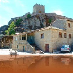
The castle of Sortelha, stands on a granite massif in a dominant position over the Riba-Côa valley, a crossing area between the Iberian Meseta and the depression of Cova da Beira, integrates the set of what is considered one of the best Historical Villages of Beira Interior preserved.
What to visit nearby: Castle of Sortelha
|
|
|
|
|
|
|
|
|
|
|
Comments
Still has no comments for
Route of 19 Castles in the Serra da Estrela region
Leave your comment
Route of 19 Castles in the Serra da Estrela region
Leave your comment
Thank you
Other Routes
Rota de Ushuaia a Chaiten no Chile via Porvenir
Itinerary for 4x4
Itinerary for: Argentina
Distance to travel: 3120 km
Published by: Antonio Martins
Visitando a Costa Amalfitana fazendo base em Pompeia
Itinerary for Moto
Itinerary for: Italy
Distance to travel: 140
Published by: Toni Martins
Passamos pela Eslovénia e fomos visitar as grutas de Škocjan, Postojna e o castelo de Predjama
Itinerary for: Slovenia
Published by: Toni Martins
Roteiro das praias e vilas históricas da região de Porto Seguro
Itinerary for: Brazil
Distance to travel: 155 km
Published by: Toni Martins
Rota do Rio Douro
Itinerary for Any vehicle
Itinerary for: Portugal
Distance to travel: 300 km
Published by: Antonio Martins
Roteiro para visitar Cinque Terre em Autocaravana (MotorHome)
Itinerary for: Italy
Published by: Toni Martins
Visitando as Cascate del Mulino, Termas de Saturnia
Itinerary for: Italy
Published by: Toni Martins
Viajando por Marrocos
Itinerary for Any vehicle
Itinerary for: Morocco
Distance to travel: 2812 km
Published by: Antonio Martins
Do Rio de Janeiro a Santos
Itinerary for Any vehicle
Itinerary for: Brazil
Distance to travel: 589 km
Published by: Antonio Martins
Roteiro dos Castelos e Palácios do Vale do Loire

Itinerary for Any vehicle
Itinerary for: France
Distance to travel: 309 km
Published by: Toni Martins
Roteiro Nápoles, Costa Amalfitana e Capri
Itinerary for Any vehicle
Itinerary for: Italy
Distance to travel: 236 km
Published by: Toni Martins
Rota das Aldeias de Xisto
Itinerary for Any vehicle
Itinerary for: Portugal
Distance to travel: 429 km
Published by: Antonio Martins
Rota do Rio Guadiana
Itinerary for Any vehicle
Itinerary for: Portugal
Distance to travel: 309 km
Published by: Antonio Martins
Visitando a Toscana em carro de aluguer e autocaravana
Itinerary for: Italy
Distance to travel: 200 km
Published by: Toni Martins
Roteiro dos Alpes Franceses
Itinerary for Any vehicle
Itinerary for: France
Distance to travel: 1041 km
Published by: Toni Martins
Rota das Barragens ao Sul do Rio Tejo
Itinerary for Any vehicle
Itinerary for: Portugal
Distance to travel: 749 km
Published by: Antonio Martins
Visitando Florença / Firenze, Toscana
Itinerary for: Italy
Published by: Toni Martins
Internet Satélite para autocaravana, como funciona e quanto custa

Itinerary for: Portugal
Published by: Toni Martins
1ª Etapa - Viagem pela Europa em autocaravana (MotorHome)

Itinerary for: Portugal
Published by: Toni Martins
Roteiro das vilas Medievais da Toscana
Itinerary for Any vehicle
Itinerary for: Italy
Distance to travel: 374 km
Published by: Toni Martins
Roteiro dos Mais Belos Lagos de Itália
Itinerary for Any vehicle
Itinerary for: Italy
Distance to travel: 1305 km
Published by: Toni Martins
Visitando a Aldeia de Pitões das Júnias
Itinerary for: Portugal
Published by: Toni Martins
Escapadinha para visitar Castelo de Vide e Marvão
Itinerary for: Portugal
Published by: Toni Martins
Visitando Pisa em autocaravana (MotorHome)
Itinerary for: Italy
Published by: Toni Martins
O que visitar, onde e quando visitar a Ilha do Pico
Itinerary for: Portugal
Published by: Toni Martins
Rota dos vinhos, das vilas e cidades mais bonitas da Alsácia
Itinerary for Any vehicle
Itinerary for: France
Distance to travel: 138 km
Published by: Toni Martins
Roteiro do Paraguai e Bolívia incluindo a Rota da Morte
Itinerary for 4x4
Itinerary for: Paraguay
Distance to travel: 2667 km
Published by: Toni Martins
Roteiro das Praias da Costa Vicentina
Itinerary for MotorHome
Itinerary for: Portugal
Distance to travel: 239 km
Published by: Antonio Martins
Rota do Cacau
Itinerary for Any vehicle
Itinerary for: Brazil
Distance to travel: 750 km
Published by: Antonio Martins
O que visitar, onde e quando visitar a Ilha de São Jorge nos Açores
Itinerary for: Portugal
Published by: Toni Martins
Why to book with CLUBE TRAVEL
The best prices
Our partnerships with the world´s largest operators offer research on the best market prices.
More options
At Rotas Turisticos you can book the hotel, buy the air ticket, book the transfer from the airport to the hotel and vice versa, book the local excursions, rent the car, take travel insurance and consult the places to visit and where to go.
Holiday Tips & Destinations
Hundreds of holiday destinations with all the options that allow you to easily choose the destination that best suits your dream vacation.
CLUBE TRAVEL
Links
